
Sunday, May 26, 2019
More Blooms along the trail
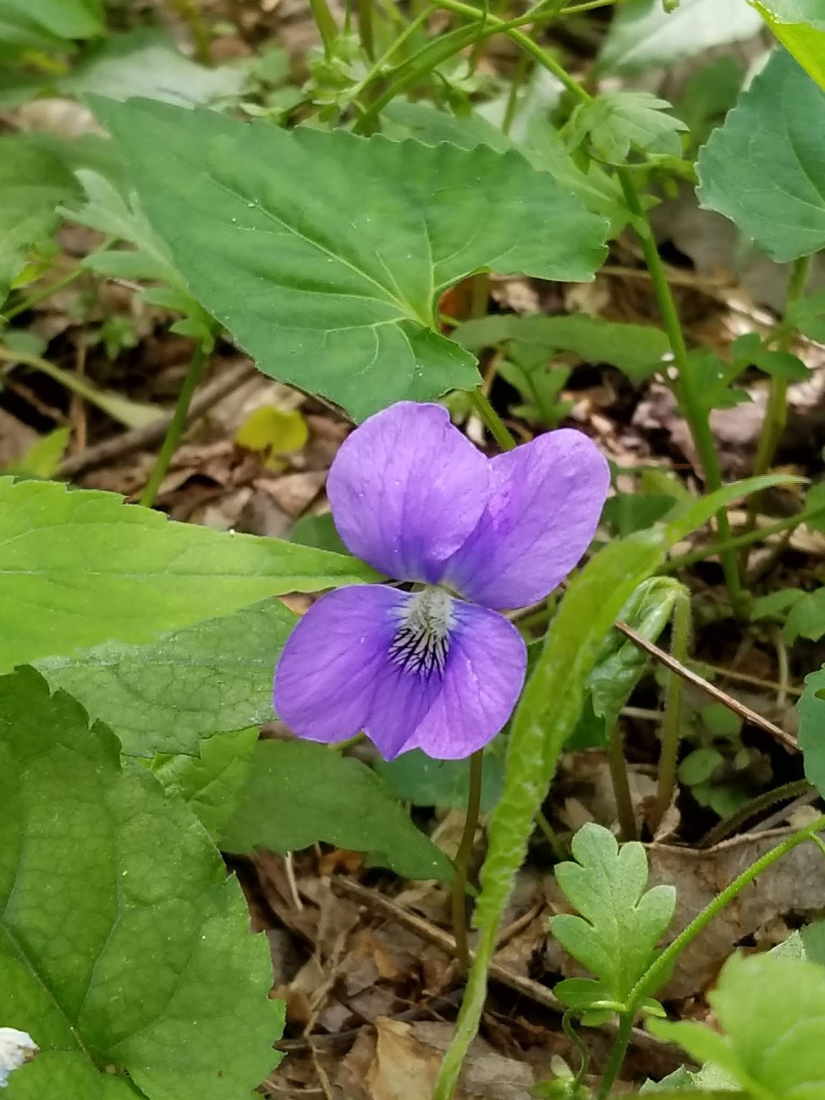
As I hiked the other day on Rich Mtn trail, again. I was delighted and rewarded with numerous plants blooming along the route.


Friday, May 24, 2019
Rabitt Creek Trail
Well dudes and Dudettes the bridge is still out which makes for a real stream crossing right after you get in the woods so don't tie your boots when you get out of your vehicle. Seriously.
This immediate crossing of Abrams Creek, also dissuades some from hiking this route and thus makes it a pleasant choice. I must admit it has stopped me from going that way more than once because I am lazy. However I am blessed with the gifts of Southern Appalachia along this route every time I make the effort.
 It's really not a big deal when I am prepared. When planning to take this route I carry a small dry towel to wipe my feet with once I reach the other side as the shores are usually muddy, and I have a hiking pole or pick up a solid branch to use for support in the current. And the water is not that deep, maybe two to three feet in spots, unless there has been a recent rain.
Really cool hike today! In the heat of the day it was nice to be under the canopy much of the way as I made my way into the intersection with Hannah Mtn trail and campsite #16, (2.5mls). I rested here and returned the way I came enjoying the views thru the trees as the route descended.
The Rabbit Creek trail dose not have switchbacks, but rather long inclines are what should be expected for much of the first 2mls. where the trail begins it's approximate .5 ml descent onto the Hannah Mtn trail. So this approach to Rabbit Creek trail would be considered difficult by some. However if you take your time and not try to keep an extreme pace I think most properly equipped and healthy folks can cover it.

This immediate crossing of Abrams Creek, also dissuades some from hiking this route and thus makes it a pleasant choice. I must admit it has stopped me from going that way more than once because I am lazy. However I am blessed with the gifts of Southern Appalachia along this route every time I make the effort.
 It's really not a big deal when I am prepared. When planning to take this route I carry a small dry towel to wipe my feet with once I reach the other side as the shores are usually muddy, and I have a hiking pole or pick up a solid branch to use for support in the current. And the water is not that deep, maybe two to three feet in spots, unless there has been a recent rain.
Really cool hike today! In the heat of the day it was nice to be under the canopy much of the way as I made my way into the intersection with Hannah Mtn trail and campsite #16, (2.5mls). I rested here and returned the way I came enjoying the views thru the trees as the route descended.
The Rabbit Creek trail dose not have switchbacks, but rather long inclines are what should be expected for much of the first 2mls. where the trail begins it's approximate .5 ml descent onto the Hannah Mtn trail. So this approach to Rabbit Creek trail would be considered difficult by some. However if you take your time and not try to keep an extreme pace I think most properly equipped and healthy folks can cover it.

Monday, May 20, 2019
White Oak Sinks
 Walking into the White Oak Sinks is always an awesome hike! I made my approach today in from the ridge. This route is over grown and required willingness to continue thru the often thick brush and downed trees, and knowledge of the route.
Once in the sinks I was pleasantly surprised to find no one there and the route up to one of the caves was not being used much at all. Yay!
As you can see in the pictures there were blooms happening and the waterfall was running strong.
I followed the designated trail out and completed the loop along School House Gap.


Saturday, May 18, 2019
Cades Cove stuff
Cades Cove Ranger Bike Patrol is in operation.
Cades Cove Loop closures for biking began Saturday, May 8th, 2019.
 This means there will be closures of the loop on Wednesdays and Saturdays...sunrise until
10:00 a.m.
During this time the Cades Cove Loop is closed to vehicle traffic. Bicycles ONLY.
Cades Cove Loop closures for biking began Saturday, May 8th, 2019.

10:00 a.m.
During this time the Cades Cove Loop is closed to vehicle traffic. Bicycles ONLY.
Monday, May 6, 2019
Spring Blooms continue along Rich Mtn.
Dudes! and Dudettes! What an awesome walk on a familiar trail! With solitude, quiet, great weather and lots of flowers in different stages of their spring bloom, I was privileged to experience some of the gifts of the Appalachian forest.


This area of Rich mtn. trail is accessed from Rich mtn. road, as it exits the park, with most of these blooms found about 2 mls. up the trail. Since it has been a few days since I took this walk the blooms are likely faded.
We may be back next time...
Thursday, April 18, 2019
Spring Blooms in the Smokies!


Sittons Gulch Trail, Cloudland Canyon SP
Cloudland Canyon State Park which is located in N Georgia, contains some beautiful vistas and water falls along some easily accessible trails such as Sittons Gulch.
The "Mysterious One", and I accessed this awesome trail for a 6 mile day hike from the trailhead just outside Trenton, GA.

This hike was a few days ago (4/14), and given the recent rains the trail was vacant when we arrived except for a park ranger gathering something off the trail which we could not identify.
Maybe gathering data for some scientific study on trees or invasive species, or maybe some garbage.
There is a previous entry on this site regarding this route however we deviated from the trail just before the falls and explored another. Wildflowers were plentiful along this route and the wildflower trail that loops off of the main trail and returns to the parking area if your heading in that direction.
Hiking this trail should be considered a moderate level of difficulty, with some steep grades at times, which could be difficult for some.
 If one is in Chattanooga or vicinity, this trail is relatively close, 30 mins. or less, and would make for a nice walk on a Sunday afternoon before the work week begins.
The "Mysterious One", and I accessed this awesome trail for a 6 mile day hike from the trailhead just outside Trenton, GA.

This hike was a few days ago (4/14), and given the recent rains the trail was vacant when we arrived except for a park ranger gathering something off the trail which we could not identify.
Maybe gathering data for some scientific study on trees or invasive species, or maybe some garbage.
There is a previous entry on this site regarding this route however we deviated from the trail just before the falls and explored another. Wildflowers were plentiful along this route and the wildflower trail that loops off of the main trail and returns to the parking area if your heading in that direction.
Hiking this trail should be considered a moderate level of difficulty, with some steep grades at times, which could be difficult for some.

Subscribe to:
Posts (Atom)